Industry Solutions
AI on the Australian Farm
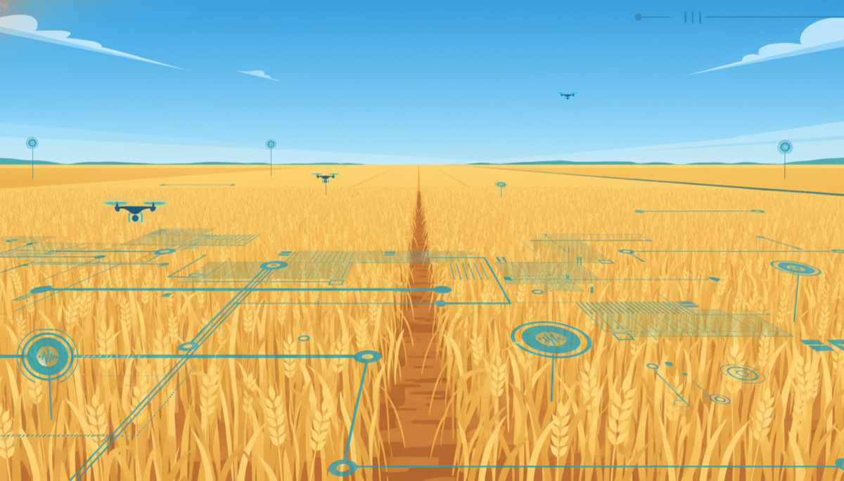
Precision agronomy, biosecurity and traceability AI offer real leverage on AU farms. APVMA, DAFF, AASB S2 and EUDR shape what midsize agribusinesses can ship.
Explore Solve8's full library of AI implementation guides for Australian businesses. The interactive version of this article loads while you read.